Houston George Bush Intercontinental Airport (IAH)
Orientation and Maps
(Houston, Texas (TX), USA)
A spreading city and the biggest in the whole state of Texas, Houston is the county seat in the Harris County area. Houston is a truly diverse and interesting city, often nicknamed 'America's Third Coast'. Bustling all through the year, prominent landmarks around the city include the University of Houston, the Rice University, Hermann Park and various huge golf courses.
Most people flying into this area choose Houston's George Bush Intercontinental Airport (IAH) to the north, which is the city's premier airport. However, the smaller William P Hobby Airport (HOU), is a busy domestic airport and lies to the southeast, off the I-45 interstate.
George Bush Houston Airport (IAH) Maps: Important City Districts
Public transportation in the city of Houston is good and regular Greyhound buses travel to and from the Houston Bus Terminal at Main Street, close to the downtown district. City buses are operated by the Metropolitan Transit Authority (Metro for short) and plenty of buses are available during the week, although the weekend service is less comprehensive. Especially popular is the city's fast and inexpensive MetroRail light-rail line, which travels along Main Street for more than 7 miles / 11 km.
Getting around central Houston can be somewhat confusing, since the streets have no logical naming convention or suffixes, with roads, avenues and streets all next to each other and appearing the same. There are also no clearly defined boundaries in many parts of the city, making a good map an essential piece of equipment.
Many of Houston's most interesting sights lie within a relatively small triangle in the heart of the city. With plenty of shopping opportunities and top dining spots, the vast Galleria Mall is located nearby, off the I-610 interstate and the Westheimer Road, an important east-west thoroughfare.
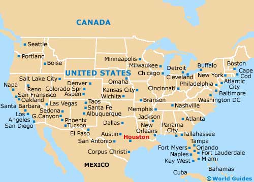
USA Map

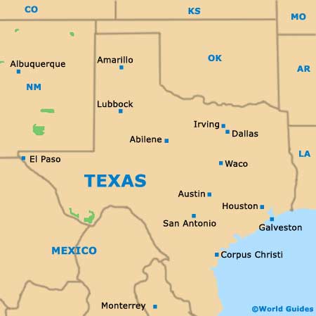
Texas Map

Houston Map


